Before we get into how weather shaped southern Utah, I have a story to share.
As you may already know, my ultimate goal is to forge a career making nature-related documentaries. By this point, I self-funded two projects that I thought were just OKAY. Of course, family and friends thought they were excellent, but I knew I could do better. So, I decided to self-fund another project. This time, to learn how climate shaped southern Utah into the awe-inspiring place it is today. The team and I had more experience working together, better camera equipment, and a new compelling geo-driven story. We flew to Utah, interviewed experts, captured amazing footage, and returned to Atlanta confident that this project would be the one to solidify outsourced funding for future projects.
Unfortunately, though, that would all change.
One night Tré asked me to come to his house. “I’ve got some bad news,” he said. The solid-state drive used to store our Utah footage was damaged. We sought the services of three data recovery companies with no luck. Only 10% of our footage could be recovered, which was not what I wanted to hear at all.
As you can imagine, receiving this news was upsetting. But my unrelenting desire to make my life-long dream a reality wouldn’t allow me to dwell in that feeling. Almost immediately, I forgave Tré (because sometimes, sh*t happens), and I began thinking of ways to make up for this lost project.
Moral of the story: Life will throw you curveballs, but when things get tricky, you just have to take a deep breath, get creative, and keep going.
We would eventually make up for our lost project in Iceland, but we still had all of the amazing photos from our Utah trip to share with the world.
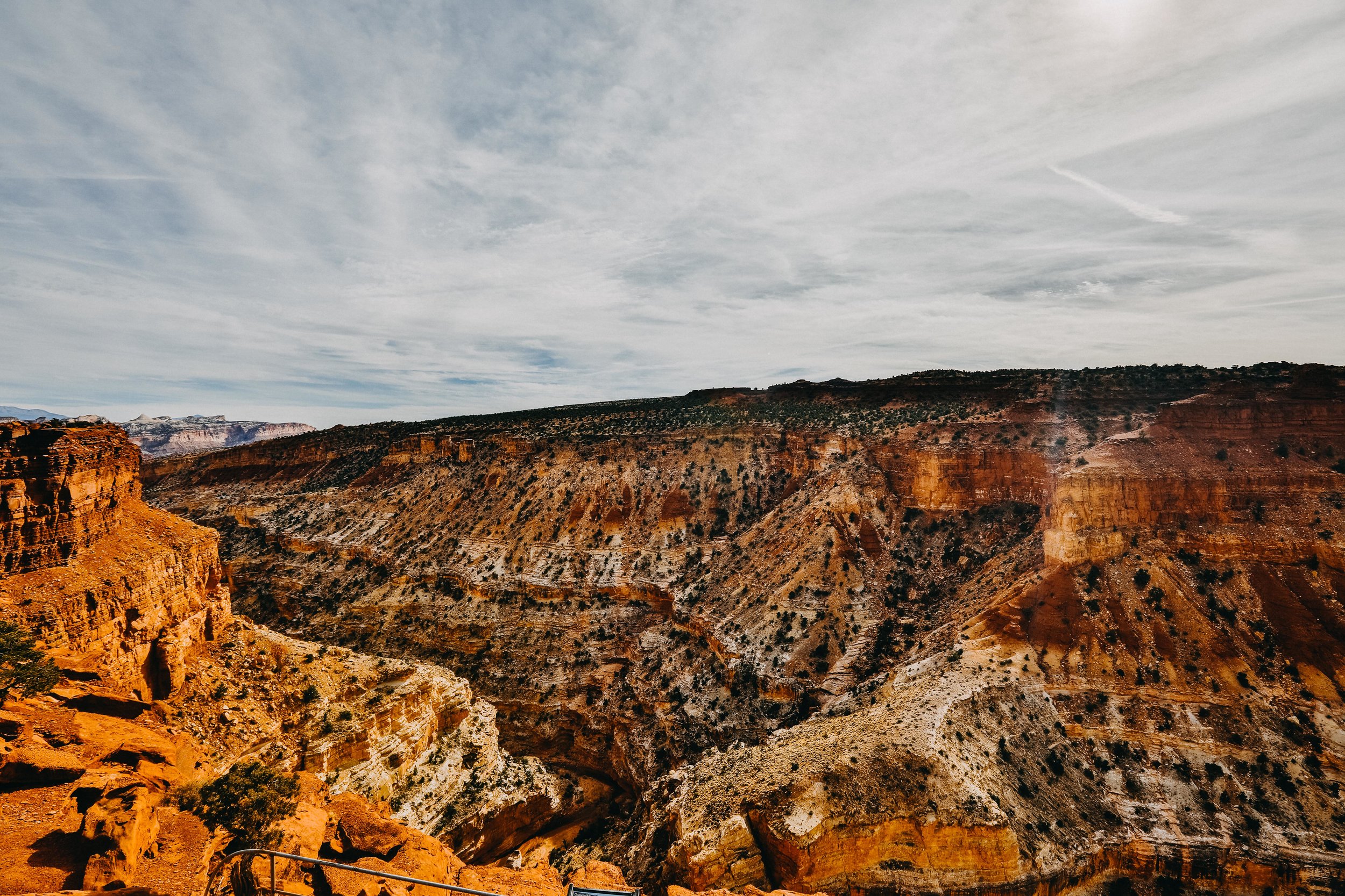
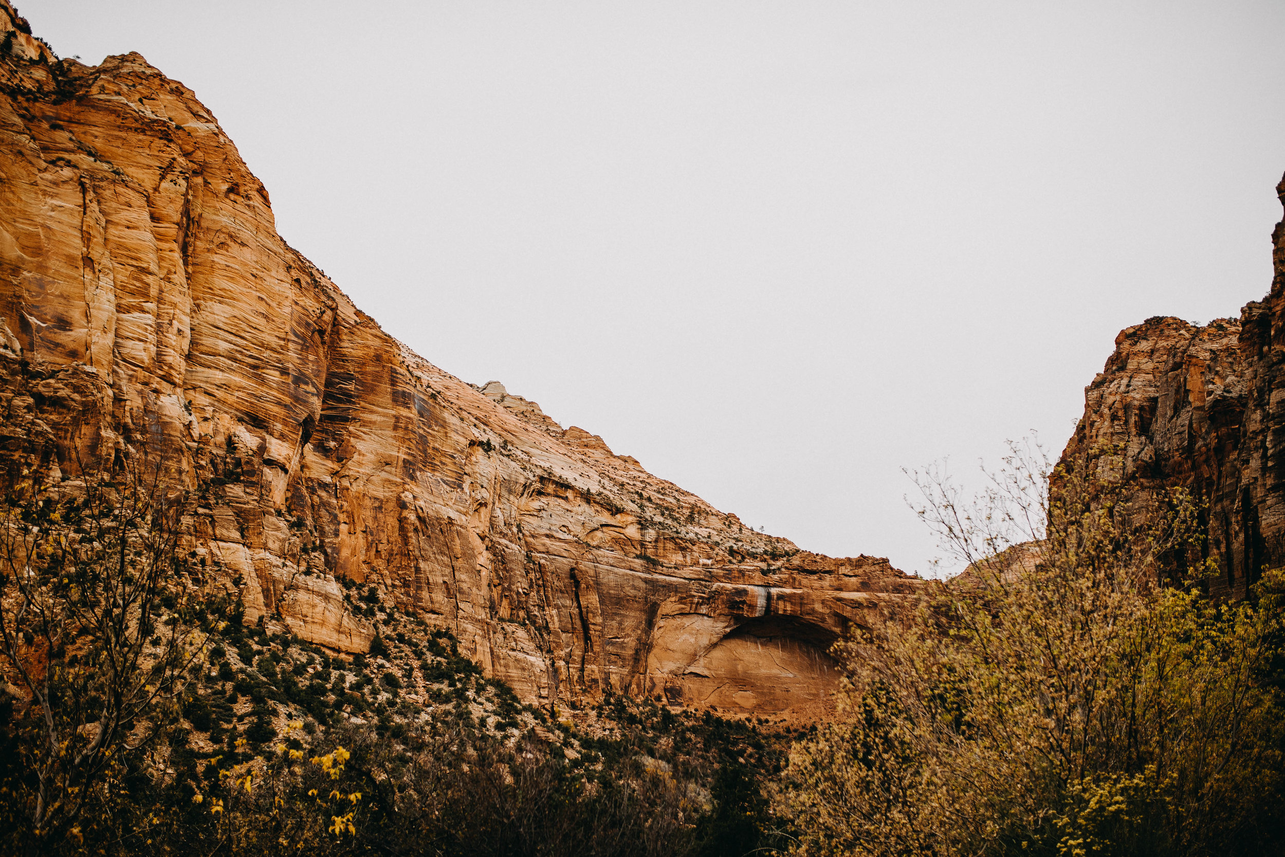
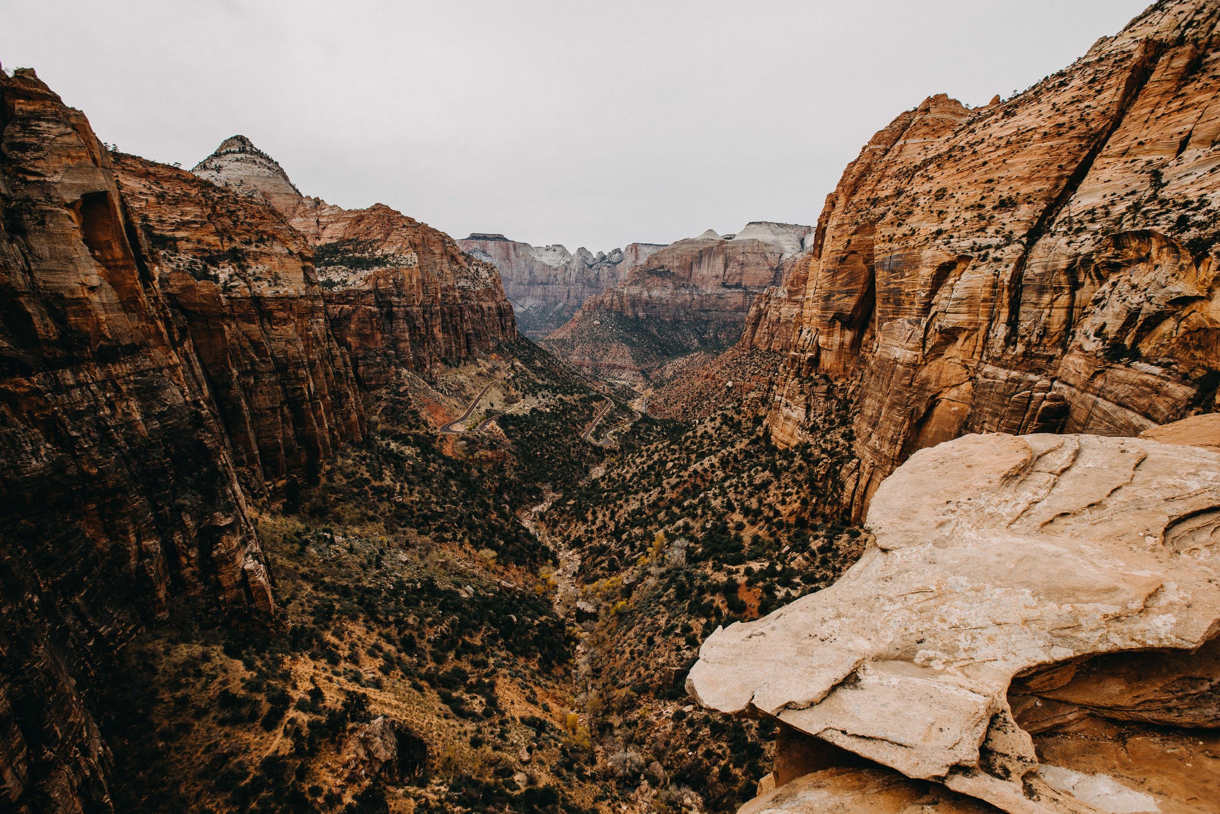
Southern Utah is an area rich in canyons. These deep gorges and cliffs are the result of weathering & erosion.
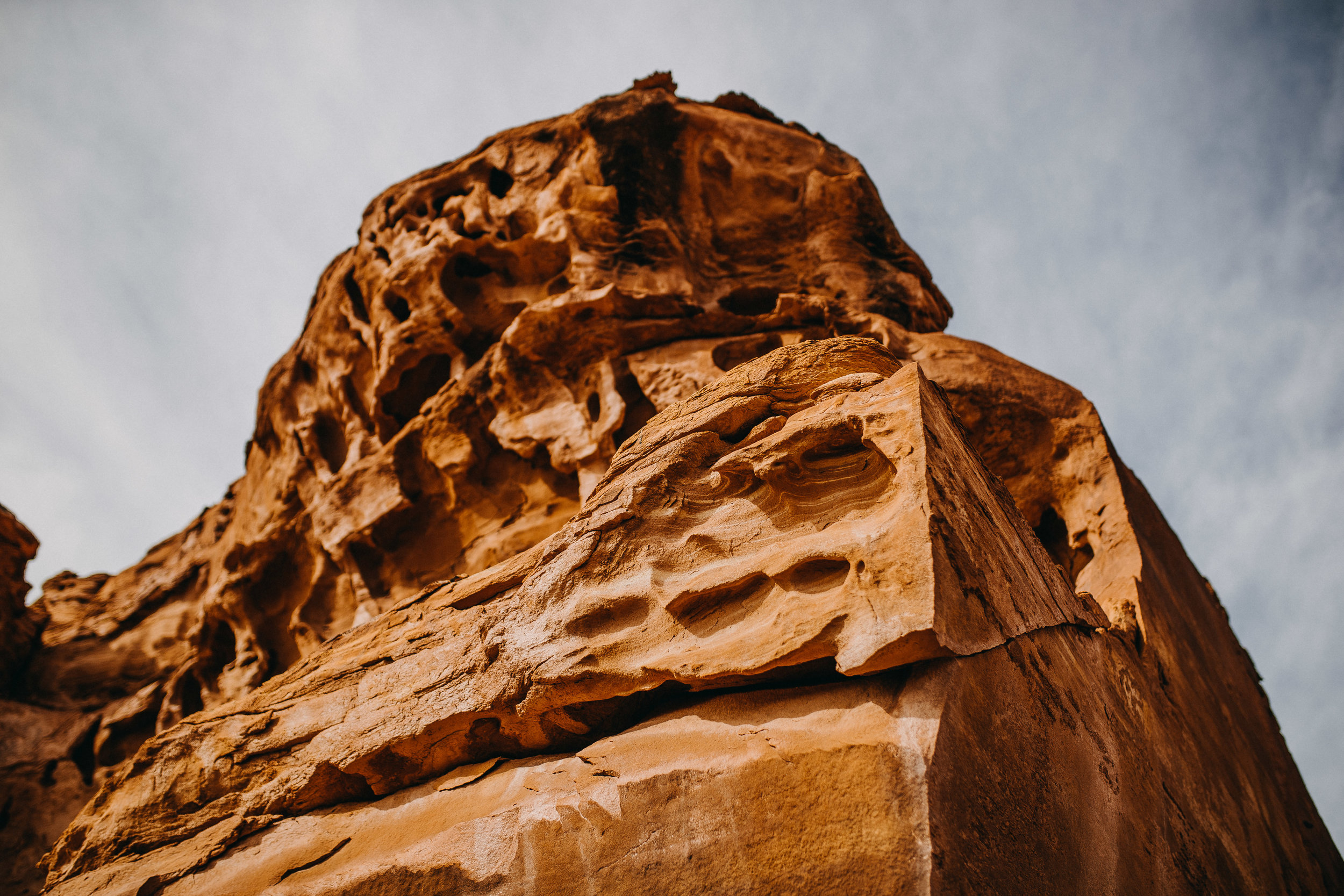
Weathering is the breakdown of the Earth's surface by forces such as rain and wind. Erosion refers to the movement of weathered materials by forces such as wind and moving water. Over time, these forces shape our planet's surface.
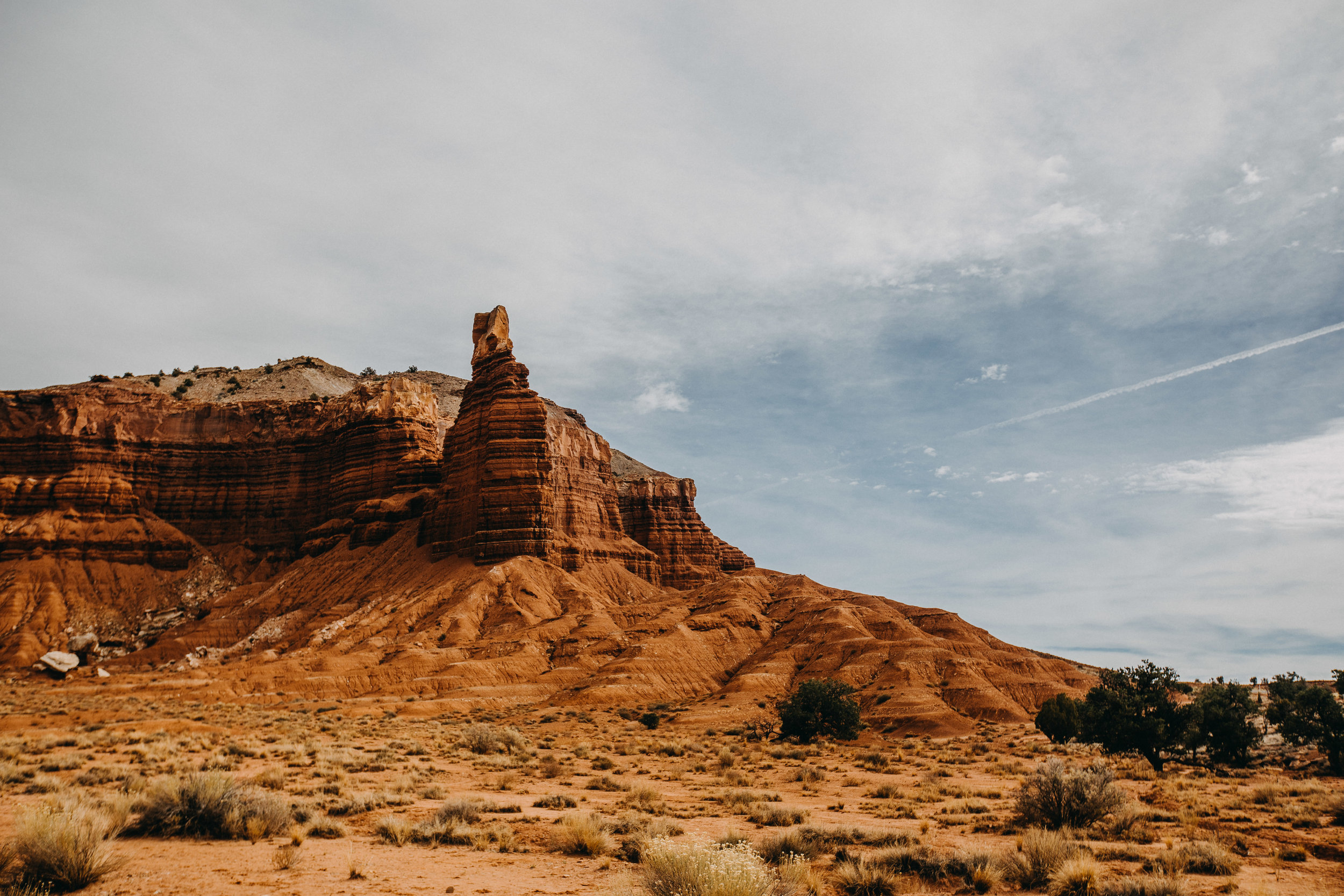
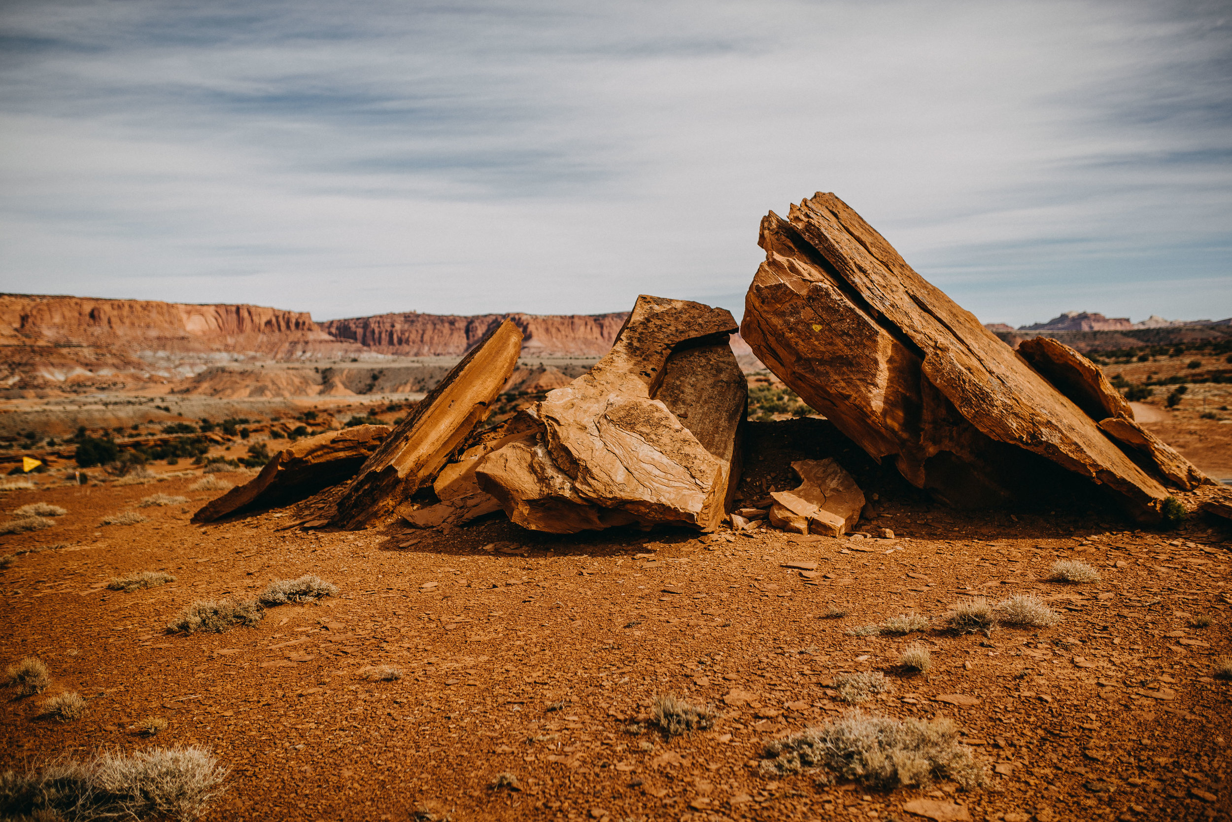
We started by visiting Capitol Reef National Park, located in Wayne County, Utah. This park is a warp in the Earth's Crust that’s about 65 million years old. This warp was formed by collisions with the Rocky Mountains and has weathered & eroded over millennia to expose layers of rock and fossils. The erosion of the rock layers continues, forming the cliffs, domes, and canyons that we see in the park today.
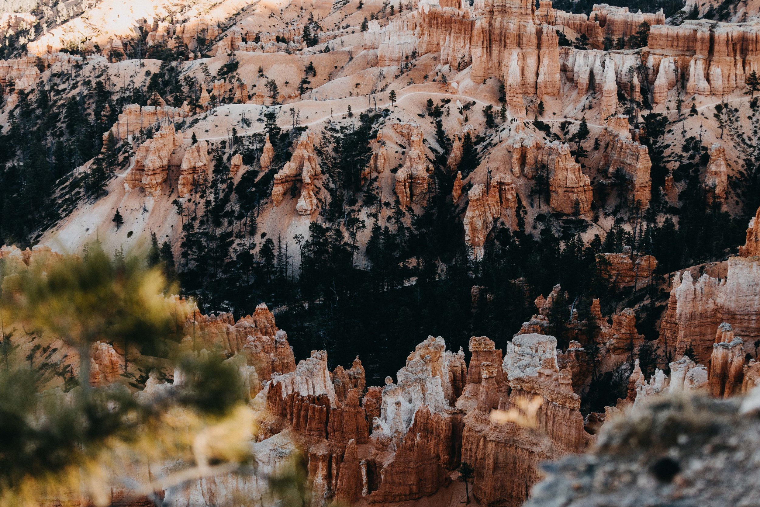
Next, we made our way to Bryce Canyon National Park, another geologic wonder about an hour away from Escalante, Utah.
This park was not formed by flowing water, but water is still the active ingredient in its formation.
Bryce Canyon was primarily created by frost wedging—the same mechanism that forms potholes in roadways. For 200 days a year, the temperature goes above and below freezing. During the day, meltwater seeps into fractures only to freeze at night. Ice exerts a tremendous amount of force, and over time frost wedging shatters and pries rocks apart, creating the peaks and spires we see in the park today.


